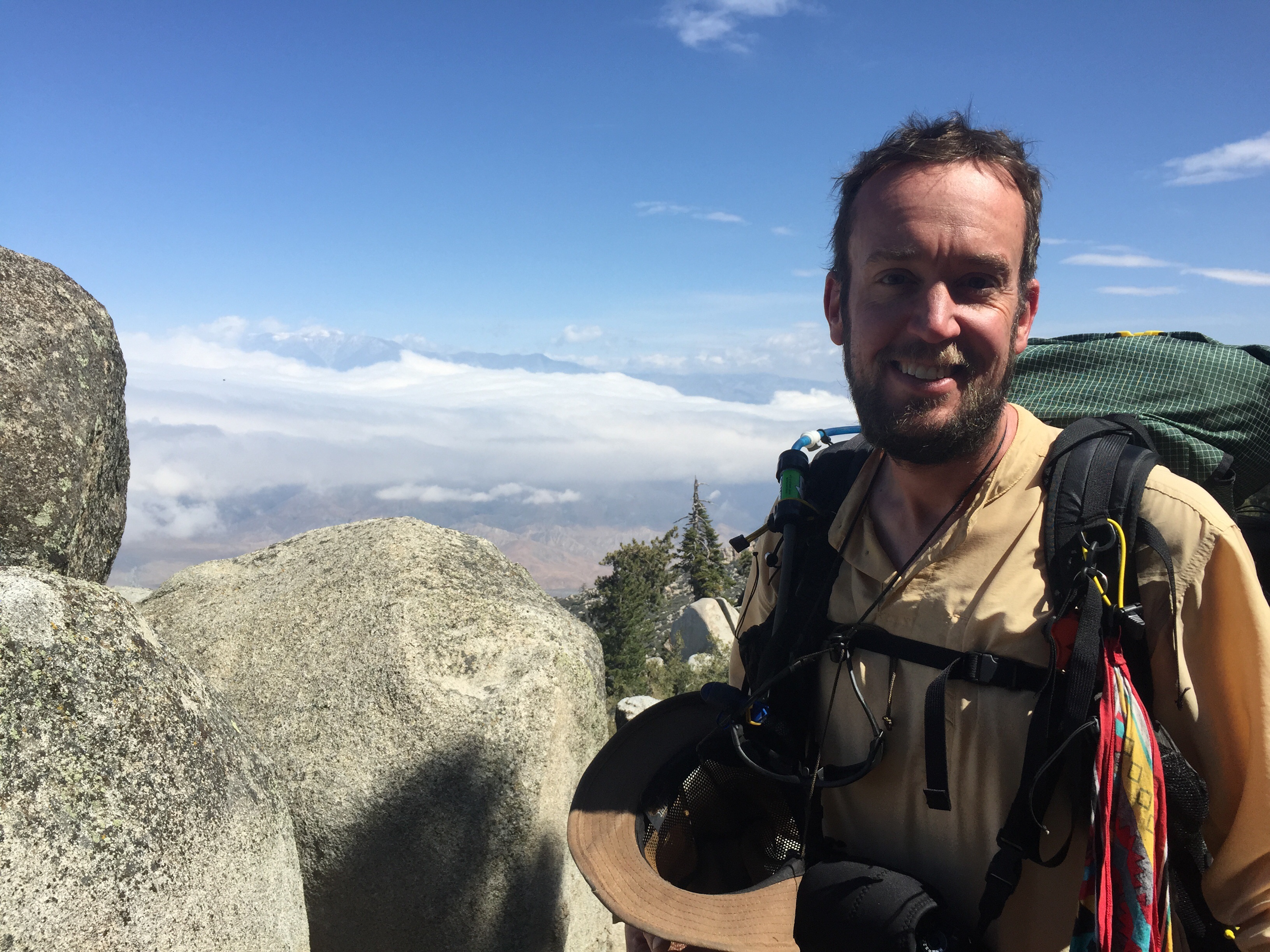
Our descent down Fuller Ridge was both brutal and incredible. Brutal because we spent eighteen miles going down the side of a mountain; incredible because the views you get from a trip like that are just spectacular. We woke up this morning at 8,800′ with 31° chill in our tent and ice in our water; we’re falling asleep this evening at 1,700′ and a balmy 61°.
We had it all laid out before us today: the valley floor, down at only 1500′, segmented by the road running horizontally through it; wind farms, blanketing the hills and looking like impossibly miniature toys from so far above; clouds drifting across the mountaintops and flowing across our path, enveloping us inside them and turning the world magical for moments; sun peeking over the mountains and streaking through our world. As we descended, it all just became even more amazing as it grew bigger; we realized that the road across the valley was actually I–10, that one of the buildings below was a 15-story casino, and that the wind farms were composed of colossal windmills hundreds of feet high, spinning nonstop.
The trail here switchbacks back and forth — well, in some ways, “incessantly” doesn’t even begin to do it justice. The entire PCT is built to try to stay within a 5% grade (meaning, for example, one mile of trail will never ascend or descend more than about 260 feet). In general, this is a great thing, as it means you don’t run into brutal ups and downs nearly as often as some other trails (although, as our experience on the John Muir Trail — which overlaps with the PCT for most of its length — tells us, these still definitely do exist). Today, though, particularly because we were going down this stretch, it just made the day long, long, long: time and time again we desperately wished for a trail that would simply turn and cut straight down the mountain, instead of insisting on meandering back and forth, back and forth, back and forth, over and over again. The result was that while the descent wasn’t actually as painful to our knees as we’d originally thought, it was tedious in a way we hadn’t expected — literally over eighteen miles straight of switchbacking across the mountain, descending a tiny bit each time.
Oh, but the views! When I awoke in the middle of the night last night to pee (about the last thing you want to have to do when it’s 31° outside), I could see the lights of the small towns down here twinkling and the stream of headlights and taillights on the road below, as well as gently blinking red lights atop towers. (I realized this evening that these were actually the windmills we’re now among!) As we slowly started to descend today, every hour brought us slightly closer to all of this, bringing slightly more into recognition: first the outlines of the towns, then the shapes of the windmills, then the great width of the interstate, and finally the houses, businesses, and streets of the cities. It meant that even though the hike itself was tedious, we never lacked for anticipation, seeing each part of the valley come into view better and better as we proceeded.
We hit another milestone (almost literally) today: we passed the 200th mile of the PCT! There’s actually a nice wooden signpost telling you when you reach it…although on the other side, for the southbound hikers (Canada to Mexico, which is far less common), it says, of course, simply: 2,450. If there’s a better way to humble you and make you realize just how far you still have to go, I don’t know what it is. It’s almost unfathomable, sometimes, these distances: we’ve already come much farther than most people hike in their lifetimes, and yet the distance left to go almost completely eclipses what we’ve done so far. It’s insane. In a way, we’re insane — although it’s the kind of insanity I very much enjoy.
As we fall asleep tonight, we have another challenge we only realized at the last minute: they put wind farms, of course, where there’s lots of wind, and that makes setting up and maintaining a tent (or tarp, in our case) rather tricky. We’ve tied it down to huge rocks as thoroughly as we can, and it’s rattling and making enormous amounts of noise above us as we try to fall asleep. We can only keep our fingers crossed that everything holds — although, if something should go wrong, we’re in pretty much the best possible situation: a seriously famous trail angel is only five miles ahead, we can’t be more than ten miles from the interstate, and Palm Springs, a real city, isn’t much farther either. These are the times to test us: tonight we learn to use our gear and our patience in new ways, before they become truly critical.
[alpine-phototile-for-flickr src=”set” uid=”44265343@N00″ sid=”72157652166631752″ imgl=”flickr” style=”gallery” row=”5″ grwidth=”800″ grheight=”600″ size=”500″ num=”30″ shadow=”1″ border=”1″ align=”center” max=”100″]

Leave a Reply