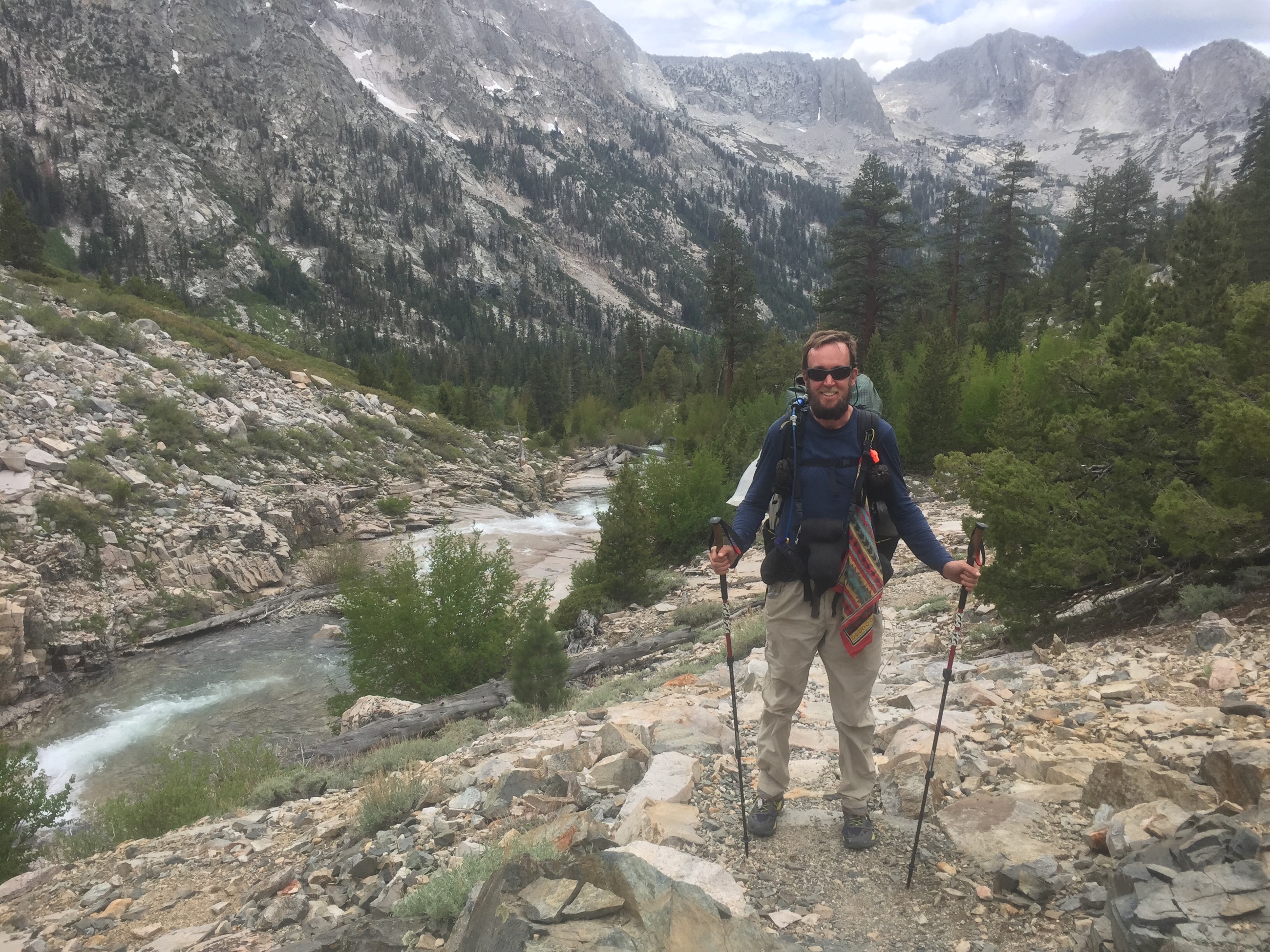
It’s incredible how much more tiring it can be hiking up and down these Sierra passes compared to everything we’ve done before. We’re doing two-thirds or three-quarters of the mileage we used to do, yet end up utterly exhausted at the close of the day. Part of it’s quantifiable: we climbed 3,600′ today to reach Pinchot Pass, and that’s kind of a crazy amount of ascending. Part of it isn’t: the trails here can be snowy, incredibly rocky, and/or wet, and those all slow you down, taxing not only your feet and legs, but your mind, too, as you navigate carefully through all of them.
Our water situation has changed dramatically, too. It’s amazing to recall that just a hundred and fifty trail miles ago, we were in the middle of carrying 31 miles’ worth of water. Here, there are often as many as a dozen water sources in ten miles…and our problem is too much water, not too little! Today, we had to ford two different streams — and when I say “ford”, I mean “switch to your camp shoes and wade carefully through”. (The number of streams we have to pick our way across on rocks each day is so high that I don’t even bother to count.) Also, keep in mind that the water in these streams pretty uniformly used to be snow just a few hours or days before: fording streams wakes you up in a hurry.
On the other hand, this evening, when I needed water, I just dipped my container into a crystal-clear mountain lake, pulling up cold, clear, delicious water. In the desert you’d get a spring that had a small trickle full of sediment; out here, getting water is easy and wonderful. I’m so glad to finally be done with worrying about where our next water source is.
Our campsite tonight is, as Bucket said, like something from the front cover of a backpacking magazine. We’re camped just a thousand feet down from Pinchot Pass, at an altitude of 11,100′, right next to Lake Marjorie, the aforementioned crystal-clear mountain lake. We’re surrounded by ranges of peaks that reach skyward, and just enough small trees to make it beautiful. The setting sun lit up the sky with these amazing hues — amber and red on one side, crimson and pale yellow on the other. It’s times like these I’m so glad I’m out here, and all the aching backs and sore feet in the world are worth it. In many ways, I wish I could stay here for days, just soaking in the beauty.
One of the more unusual things we ran into today: two men hiking with a dog. Dogs aren’t allowed in trails in national parks, and the PCT runs through at least three national parks (including the one we’re in now). This dog, however, is apparently a service dog, meaning the ADA says the dog can indeed come in the park. (I will say I am in serious doubt about just how much of a “service dog” it really is, especially given that I know how easy it can be to get such a designation.) It’s an incredibly well-behaved German Shepherd, and, although I don’t think it really should be out here, it’s kind of nice to see, nonetheless. Just before we stopped this evening, we saw the men and dog camped, and the dog has its very own tent, made out of Tyvek, where it spends the night. It’s kind of the cutest thing ever.
A couple of other interesting things we passed today: the single craziest hiking bridge I’ve ever been on…and the 800-mile mark of the PCT! The bridge is over large creek, big enough that there’s no way you could ford it or go across on rocks, and is an honest-to-God suspension bridge — cables and all. It’s just one-person-at-a-time, and, once you get out there, you know exactly why: it sways like crazy. You’re up there, maybe fifty feet above the creek, on this crazy narrow bridge where you can look straight through the planks you’re walking on down into the creek below, and swaying side-to-side by, well, quite a bit. I trust the construction and the fact that it’s been there for ages, but it’s still pretty nerve-wracking.
The 800-mile mark of the PCT was surprising…it actually felt like it’s been a really long time, relatively speaking, since we hit the 700-mile mark. I thought this meant we were going really slowly, until Bucket pointed out that our last 100 miles has actually been something more like 140 miles or more: our side trip to Mt. Whitney added nearly twenty miles, and our expedition out over Kearsarge Pass to Independence and Bishop to resupply added nearly another twenty. This made me feel quite a bit better, especially since this is one of the only stretches where we’ll need to make such lengthy side trips on foot.
We’re trying hard to make decent miles in this stretch of the trail, especially because we badly want to get to our next stop for a zero, Vermilion Valley Resort, within six days. We thought this was going to be a relatively easy undertaking, but that was before we realized just how much the snow, rocks, and climbing would slow us down. Combine that with a couple of mornings where we were late getting started, and we haven’t been making enough miles to get to VVR on time yet. Tomorrow, we hope to get up earlier and make considerably more progress.
Our next passes are Mather Pass, which is actually quite close and relatively easy (as it’s only a 1,900′ climb or so, compared to the brutal 3,600′ of today), and then Muir Pass, which is a much bigger deal. We’re going to go up and over Mather early tomorrow, and then hope to get most of the way up Muir Pass to make the following day easier. Here’s hoping it all goes smoothly!
[alpine-phototile-for-flickr src=”set” uid=”44265343@N00″ sid=”72157655400745011″ imgl=”flickr” style=”gallery” row=”5″ grwidth=”800″ grheight=”600″ size=”500″ num=”30″ shadow=”1″ border=”1″ align=”center” max=”100″]
Leave a Reply