One thousand, three hundred twenty-five and five-hundredths miles walked from Mexico. One thousand, three hundred twenty-five and five-hundredths miles to Canada. I’m trying to wrap my head around those numbers even now. What’s crazier — how far we’ve come, or that we still have just as far to go?
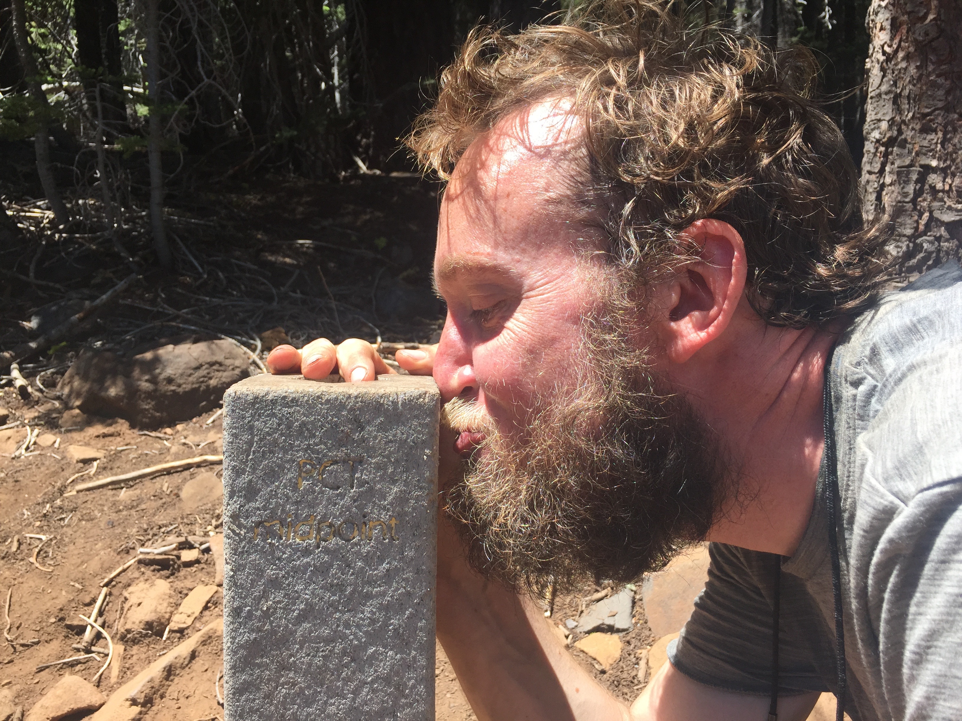
The midpoint of the PCT, of course, comes in the middle of just a completely ordinary stretch of trail, cruising across and down a hillside from one place to the next. But as a landmark most of us have been looking forward to for, oh, a few hundred miles or so, it’s a really big deal. At the place itself, there’s a concrete post, a few feet high, that’s been engraved with gold lettering on three sides: 1325 miles to Mexico, 1325 miles to Canada, and PCT midpoint. Everybody stops, and there’s a trail journal for everyone to sign.
Except that, really, there isn’t a single midpoint: there are three places you can reasonably call the midpoint, in fact. As GPS has enabled higher- and higher-resolution mapping of the trail itself, the precise location of the true midpoint has been known with more and more accuracy. Further, the trail itself gets rerouted in small ways nearly continually, shifting things around.
The result is that, this year, the midpoint marker post is actually almost five miles south of the true midpoint distance from the border with Mexico to the border with Canada. Then there’s also the fact that once you’re at the border with Canada, you can’t, you know, just stop walking, because there’s no road there. It’s another thirteen miles of hiking from there to the nearest road at Manning Park, in Canada. So there’s a third midpoint, which is the midpoint of all the trail you have to actually hike when you through-hike the PCT.
Today, we passed the first two markers, and we’ll pass the next one very shortly after starting our next hiking day. Really, though, it might as well all be in exactly the same place, compared to the vastness of the PCT. If you’re thinking that you can’t really wrap your head around what it must mean to have been hiking for three months, yet have just as far to go as you’ve come…you’re not alone; I can’t wrap my head around it, either, and I’m doing the damn thing. I think it bumps up against the way that human beings can’t really comprehend truly huge numbers — I know what a billion is, but I don’t think anybody actually has an intuitive grasp of what a billion of something would actually be, because we never, ever run into that — and just kind of loses all comprehensibility.
Of course, the remaining half of the trail is also going to take us considerably less time than the first half did — out of necessity — and so in that other important way we passed the midpoint some time ago, although it’s impossible to know exactly when. That’s another piece of how this feels: we’re now seasoned, tough, veteran PCT hikers, and so the second half feels like less than half, in certain ways. It’s still very intimidating to know how much faster we need to go on that half of the trail, but it feels like “less than half” in that important way, too.
So, what else is going on, beside the fact that we’re now past the halfway point? One big one that I haven’t mentioned yet: the last fifty miles or so (I’m looking at you, Lassen National Forest) is undoubtedly the most poorly-maintained stretch of the PCT that we’ve encountered yet. It needs a trail crew, or multiple trail crews, badly. Every hour we probably step over a couple dozen trees that are blocking the trail, and probably three to five of them are so large that it takes serious gymnastics to climb over them, slowing our progress a lot. This evening, we even spent about fifteen minutes going about ten feet: several trees had fallen on top of each other across the trail, and the forest was so thick on either side that it took ages to manage to go around it. It’s really frustrating, in many ways — I’ve seen trail crews at work, so I have some idea just how huge of a task it can be to clear even a little trail, but it seems like it’s been far too long since this National Forest sent anybody down this path. Hopefully someone, somewhere, will get wind of this and improve things for the better.
The second piece of news for today is that we’ve made a bit of an unscheduled stop, in Chester, CA, for a zero tomorrow. We’ve been hiking fast and hard and could really use a break, but the immediate reason is that, very late in the day today, my left ankle suddenly started hurting quite a lot whenever I hiked, for no reason I know of at all. It’s painful enough that it made me limp, and we were just lucky that it was only a mile or so until the highway in to Chester that it started — so we decided to take advantage of it, and take a break. While any zero obviously cuts into our progress, the fact that we’re getting in a more-or-less full day of hiking today, and can presumably leave early on Friday, means that it should be really efficient compared to other town stops, which I’m glad of.
And, of course, as with any town stop…having had an enormous dinner (steak! pulled-pork “nachos” on top of French fries! mashed potatoes! beer!) and falling asleep in a real bed feels amazing. As does not having to hike anywhere at all tomorrow! Here’s hoping my ankle feels better quickly.
[alpine-phototile-for-flickr src=”set” uid=”44265343@N00″ sid=”72157656534341271″ imgl=”flickr” style=”gallery” row=”5″ grwidth=”800″ grheight=”600″ size=”500″ num=”30″ shadow=”1″ border=”1″ align=”center” max=”100″]
Leave a Reply