Today, we took one of several alternate trails we’ve done instead of the PCT at times — this one called the Eagle Creek Alternate. Many of these alternates, like this one, are much more popular than the official PCT, to the point where almost nobody actually hikes the official trail in these sections. The Eagle Creek Alternate is so popular because of what you get to see as you descend it: a gorgeous canyon with Eagle Creek tumbling down it…and multiple really incredible waterfalls along the way. (It also doesn’t hurt that the alternate saves you four miles compared to the official PCT.)
Starting off, we immediately recognized one big advantage the PCT often has over these alternates: grading. In particular, the Eagle Creek Alternate descended something like 2,300 feet in just a few miles, which is incredibly steep. It only took a short distance for my knees to really dislike this — I had to brace myself on nearly every step, the muscles working hard to keep me from almost tumbling end-over-end down the trail. Thankfully, after a few miles, the trail leveled off pretty intensely and became a whole lot easier to manage.
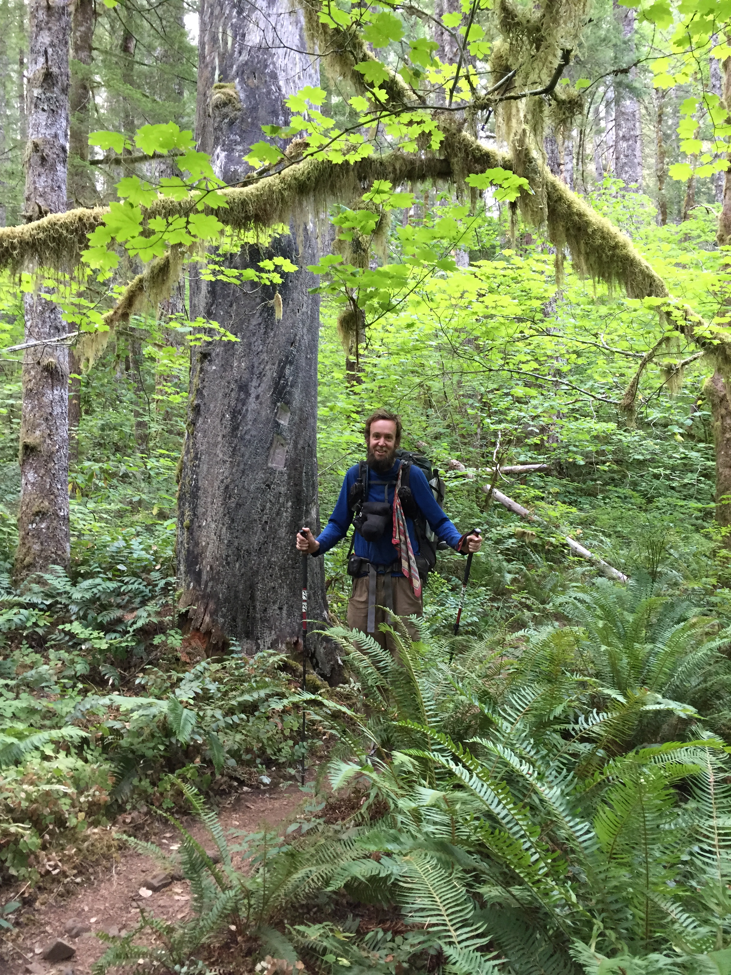
It’s right around that time, too, that the trail switched from walking downhill through lush Pacific Northwest forest to a beautiful path tracing the Eagle Creek canyon as the river slowly tumbled along. The water would alternately be wide and meandering, narrow and fast, sometimes carving out giant pools in pure rock that were filled with crystal-clear water.
It wasn’t long before we came across the single biggest attraction of this entire alternate, Tunnel Falls. Tunnel Falls is amazing: it’s a waterfall easily a few hundred feet high, starting far above you and ending far below you as you walk halfway down the canyon on a narrow trail that’s been blasted into the rock face. And the trail actually goes behind the waterfall, through a tunnel that’s also been blasted out of the rock. (I always imagine these kinds of trails being created in the 1930s or 1950s, when I imagine the attitude of, “sure, let’s just dynamite out a path! and a tunnel would be so sweet!” was a lot more prevalent than today’s more environmentally-conscious attitudes.) Walking towards the falls gives you all these spectacular views, and going behind it is amazing; you definitely get dripped on by the falls and in the tunnel, and it’s altogether just a very unusual and great experience.
Once we passed Tunnel Falls, we started running into day-hikers…and more day-hikers, and more day-hikers. By the time we got to the trailhead, we’d easily passed a hundred, maybe two hundred of them. This was crazy for us: we’re used to seeing only a few people in a day, and almost all PCT through-hikers…and yet here we were running into people just constantly. As Bucket said, we finally understood how southbounders on the PCT felt — we were plenty friendly and said “hi” to, say, the first fifty or so, but soon enough we didn’t even bother just because we ran into so many people. I can see exactly why it is so popular, though; the trail is absolutely beautiful almost the entire time, there are places to camp everywhere, it’s an easy and rewarding hike, and the trailhead is less than an hour from Portland.
After passing the trailhead, the remainder of our walk into town was largely on a really interesting paved path that, signs told us, actually used to be a “highway”. I say “highway” because this is meant in the 1920s sense of the word; the path was barely wide enough that two modern cars could pass each other going opposite directions, and there was no way you could round most corners going much more than 20 MPH or so. It’s a truly beautiful setting, though, almost making you wish (for scenery, not for convenience or efficiency) that you could still drive this route along the Columbia River Valley, rather than the almost-immediately-adjacent Interstate 84, which is a whole lot faster…and a whole lot less beautiful.
This path also took us to the very lowest point of the entire PCT — less than a hundred feet above sea level, which is a huge difference from the 3,000–6,000-foot elevations we’re used to around here. The Columbia River is also the single biggest river we’ll cross on the entire trip, by far, requiring a walk on a bridge that carries cars and is probably a mile long or so. It’s gorgeous, though, stretched out in this green, mountainous valley, and I love being in this place.
A beautiful thing about Cascade Locks, too: it’s right on the PCT, and the hotel we’d reserved is pretty much directly adjacent to the Bridge of the Gods, the bridge you walk to cross into Washington. It’s a beautiful little town and extremely convenient, and a wonderful place to stay. Checking into the hotel brought, as always, showers and a late lunch (burger! milkshakes!), and the evening brought us a good dinner at a local restaurant (and, as far as I can tell, the only one open that evening).
It’s so nice to know that tomorrow we don’t have to hike anywhere at all or go anywhere at all — just relax…and the next day, our second zero in a row, all we really have to do is get ourselves to the nearby town of Hood River, where our hotel for that night is. Two whole days to relax and take it easy!
[alpine-phototile-for-flickr src=”set” uid=”44265343@N00″ sid=”72157658968566168″ imgl=”flickr” style=”gallery” row=”5″ grwidth=”800″ grheight=”600″ size=”500″ num=”30″ shadow=”1″ border=”1″ align=”center” max=”100″]
Leave a Reply